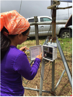
Puanui uka: elevation 855 m (2805.1 ft)
CLICK HERE for live weather data:
CLICK HERE for live weather data:
- Rainfall
- Temperature
- Relative Humidity
- Soil Moisture
- Wind Direction
- Wind Speed
- Solar Radiation (currently unavailable)
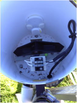
Puanui luna (top mala): elevation 730 m (2395.0 ft)
CLICK HERE for live weather data:
CLICK HERE for live weather data:
- Rainfall
- Temperature
- Relative Humidity
- Soil Moisture (currently unavailable)
- Wind Direction
- Wind Speed
- Solar Radiation
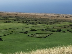
Puanui waena (middle mala): elevation 690 m (2263.8 ft)
CLICK HERE for live weather data:
CLICK HERE for live weather data:
- Rainfall
- Temperature
- Relative Humidity
- Soil Moisture (currently unavailable)
- Wind Direction
- Wind Speed
- Solar Radiation
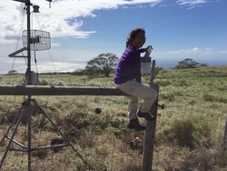
Puanui lalo (bottom mala): elevation 490 m (1607.6 ft.)
CLICK HERE for live weather data:
CLICK HERE for live weather data:
- Rainfall
- Temperature
- Relative Humidity
- Soil Moisture (currently unavailable)
- Wind Direction
- Wind Speed
- Solar Radiation
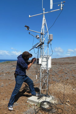
Puanui kai: elevation 63 m (206.7 ft)
CLICK HERE for live weather data:
CLICK HERE for live weather data:
- Rainfall
- Temperature
- Relative Humidity
- Soil Moisture (currently unavailable)
- Wind Direction
- Wind Speed
- Solar Radiation
Made possible with financial support from the Omidyar Foundation, Stanford University, and Kamehameha Schools. Many individuals contributed to the design and installation of the equipment, including Peter Vitousek, Ala Lindsey and 'ohana, Heraldo Farrington, Aurora Kagawa-Viviani, Kehaulani Marshall, Bill Wiecking, Alex Luisi, and students from Kohala High School, Stanford University, and The University of Hawaiʻi - Manoa.
